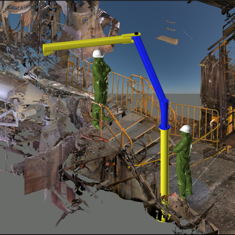
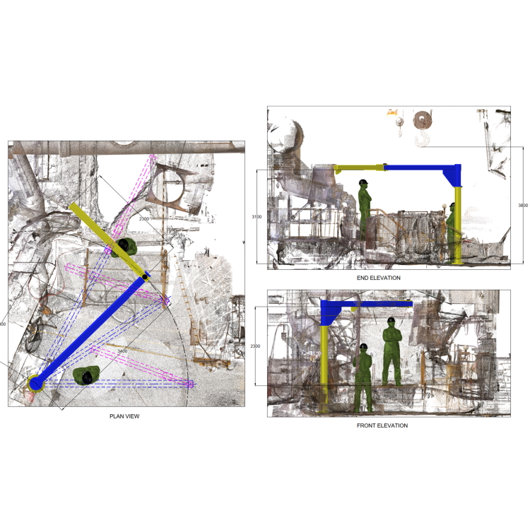
We use laser scanning to survey and capture geometric data of infrastructure and equipment onsite. We process the scanned data using a number of different software programs. Laser scanned data can be used to prepare 2d sketches, earthworks cut and fill sections and contour plots. 3d models can be integrated into the 3d scanned data to clearly visualize how new designs or upgrades will integrate into existing plant layouts.
Equipment design workflow using laser scanning:
– reduces project delivery time.
– eliminates interfacing and measurement errors.
– enables the end customer to clearly visualize the end result.